WAForDD
Project Description
The West Africa Forest Degradation Data system (WAForDD) was developed to provide annual estimates of canopy cover change in the forest reserves of Ghana. The system uses a historical Landsat imagery to generate a time series of canopy cover from 2001-present, along with disturbance and recovery rates from 2003-present. Canopy cover is estimated using a random forests machine learning algorithm and extensive training and validation datasets derived from very-high resolution satellite imagery. The LandTrendr temporal segmentation is then applied to the canopy cover time series for each pixel to distinguish forest disturbance and recovery from periods of relative stability. We found that this approach can detect forest degradation that results in partial canopy removal as well as complete forest loss and post-disturbance recovery. Canopy cover remained relatively stable in protected areas such as National Parks, but was reduced by forest degradation and loss from logging, fire, illegal mining, and agricultural encroachment in many of the other forest reserves.
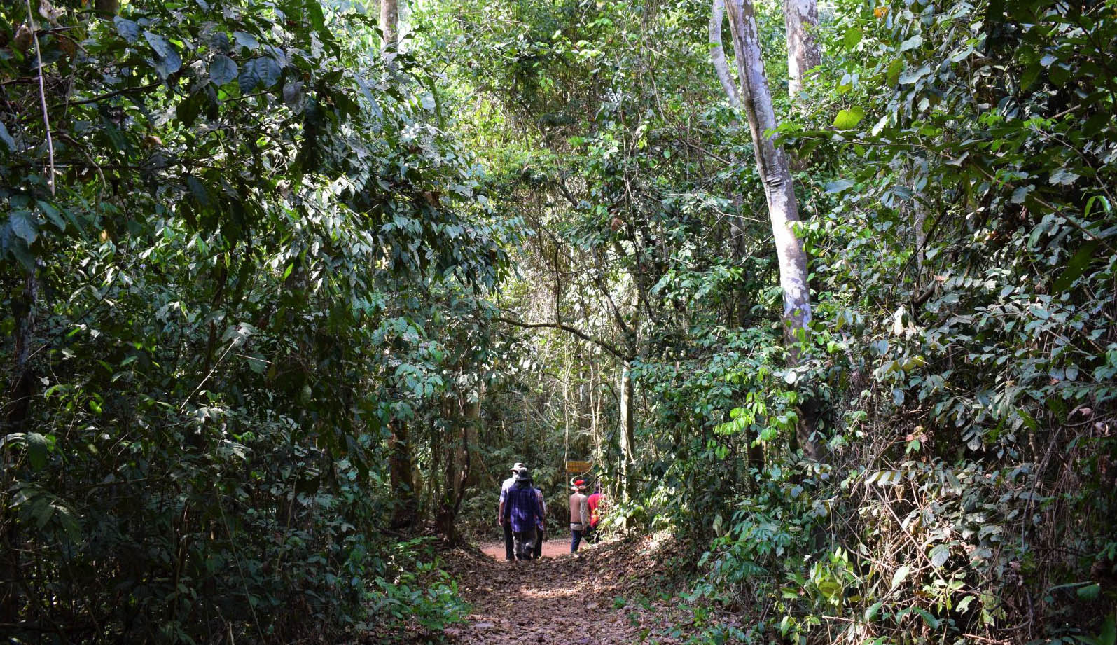
Closed canopy forest in the Bobiri Reserve, Ghana.
WAForDD is implemented using Google Earth Engine (GEE), a cloud-based platform for geospatial analysis that provides access to the Landsat archive as well as many other Earth observation datasets. GEE has enabled the transfer of WAForDD to partners organization in Ghana by providing access to data and code through a cloud-based integrated development environment. This approach eliminates the need to download, store, and process large volumes of remote sensing imagery on local systems. We also developed a stand-alone Earth Engine App to facilitate data visualization and summarization. GEE programmers can explore the code archive and read the project documentation for more detailed information. Those wishing to explore the annual change data in more detail should use the WaforDD App.
We have collaborated with our partners to continue updating WAForDD anually. The remote sensing methods and validation of the forest degradation dataset are documented in a peer-reviewed journal article (Wimberly et al. 2022). The WAForDD dataset has been applied in several research projects, including a study of the drivers of fire and non-fire disturbances (Wanyama et al. 2023), and an analysis of post-disturbance forest recovery rates that combined WAForDD data with forest biomass and structure data from the GEDI mission (Wanyama et al. 2025).
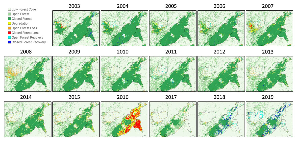
Forest change maps from the West Africa Forest Degradation Data system (WAForDD) Version 2.1. The maps show the Desiri, Tano Offin, and Tano Offin Extension reserves.
Partner Organizations
Software and Data
Publications
- Wanyama, D., M. C. Wimberly, R. Doughty, and F. Mensah. 2025. Forest aboveground biomass accumulation lags forest canopy recovery in degraded tropical forests of Ghana. International Journal of Applied Earth Observation and Geoinformation, 142: 104753.
- Wanyama, D., M. C. Wimberly, and F. Mensah. 2023. Patterns and drivers of disturbance in tropical forest reserves of southern Ghana. Environmental Research Letters 18: 064022.
- Wimberly, M. C., F. K. Dwomoh, I. Numata, F. Mensah, J. Amoako, D. M. Nekorchuk, and A. McMahon. 2022. Historical trends of degradation, loss, and recovery in the tropical forest reserves of Ghana. International Journal of Digital Earth: 15(1), 30-51.